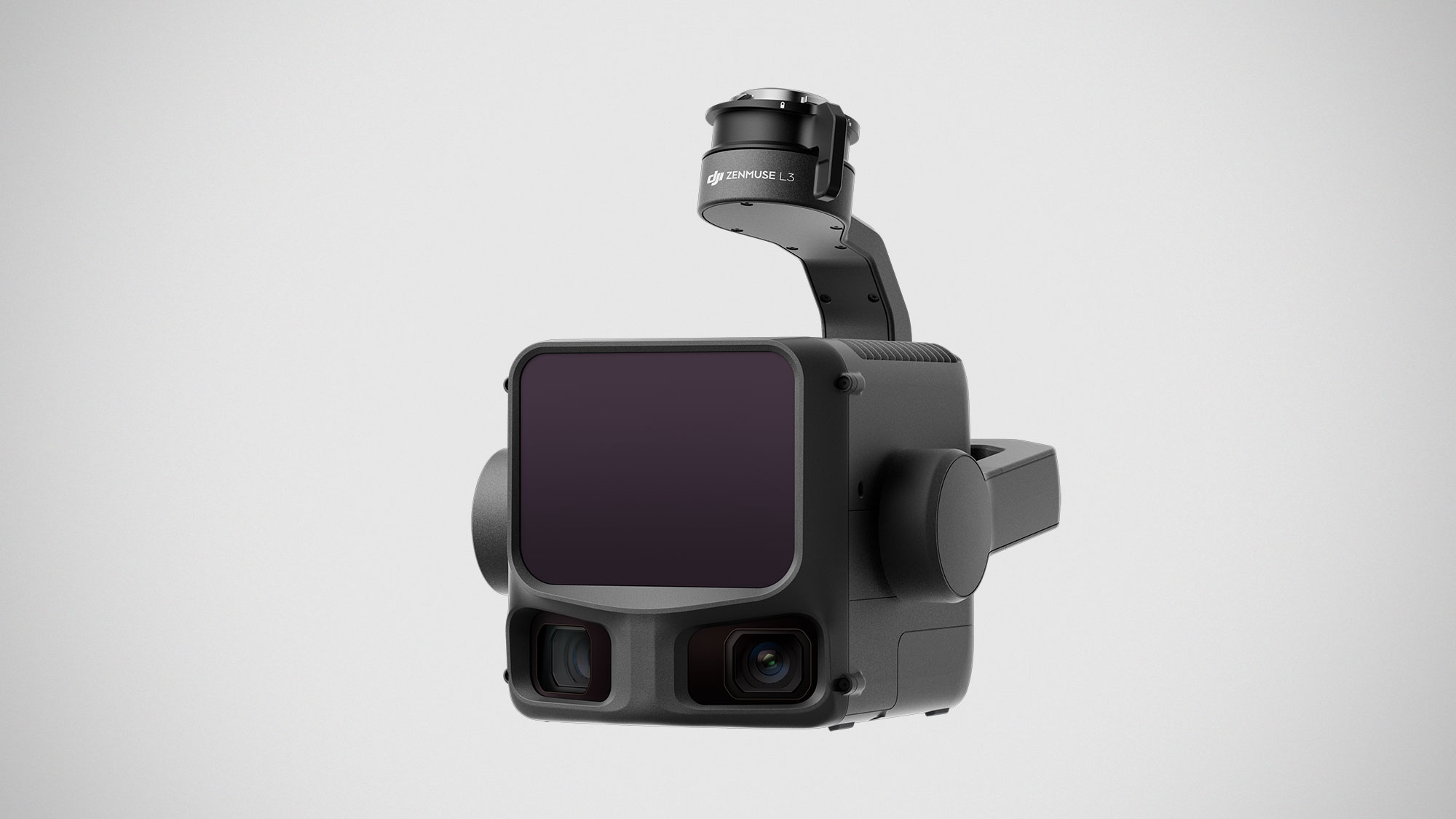
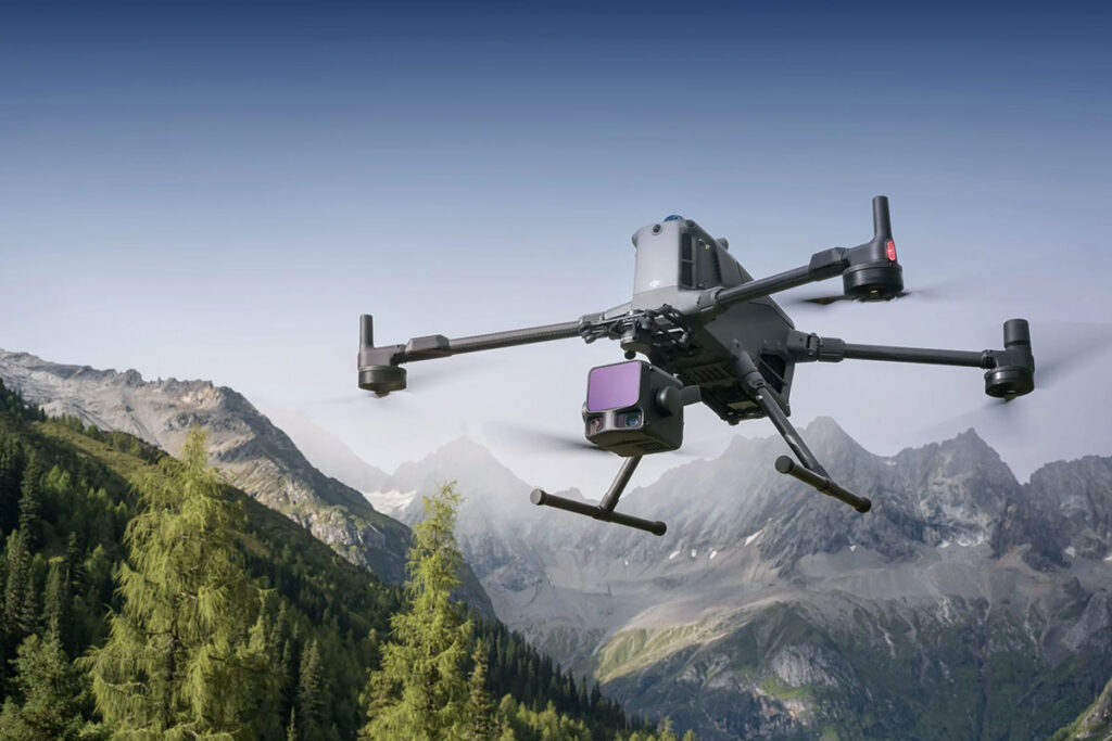
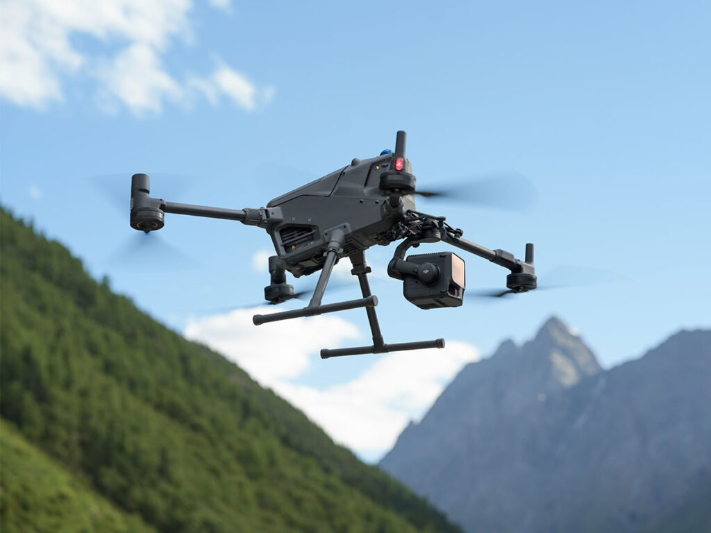
DJI isn’t just content with owning the skies—it’s now mapping them with surgical precision. The company’s latest toy for professionals, the Zenmuse L3, is its first long-range, high-accuracy aerial LiDAR system. Translation: this thing shoots invisible lasers up to 950 meters to measure the planet down to a few millimeters. Forget “eyes in the sky”; this is more like a sniper scope for geography.
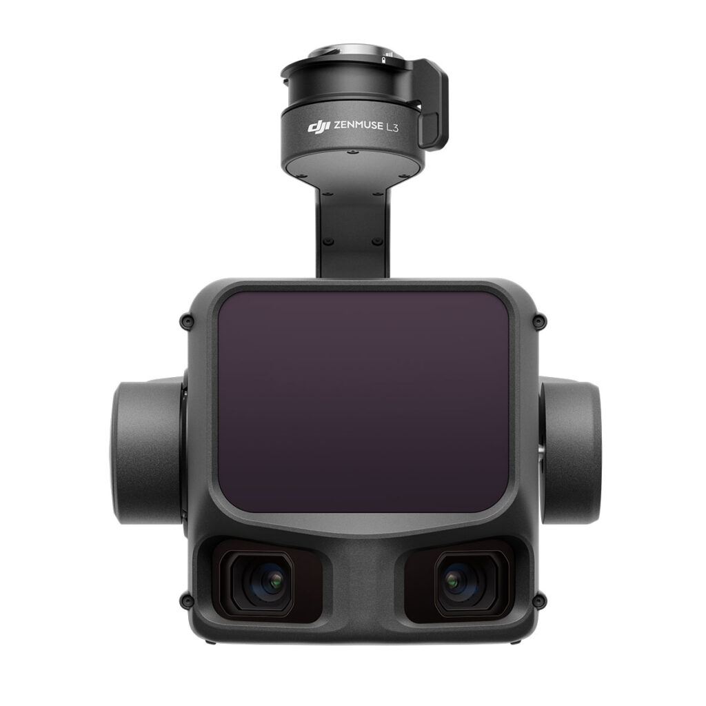
The L3 fires a 1535 nm long-range LiDAR capable of detecting objects with as little as 10% reflectivity. So yes, it can spot that forgotten bicycle in your backyard or a lonely power line in the middle of nowhere. It even manages a 5 mm repeatability at 150 m, which means the only thing shakier than its readings would be your coffee hands.
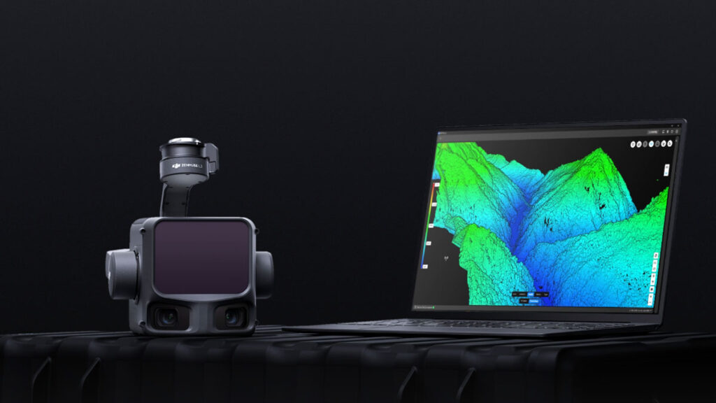
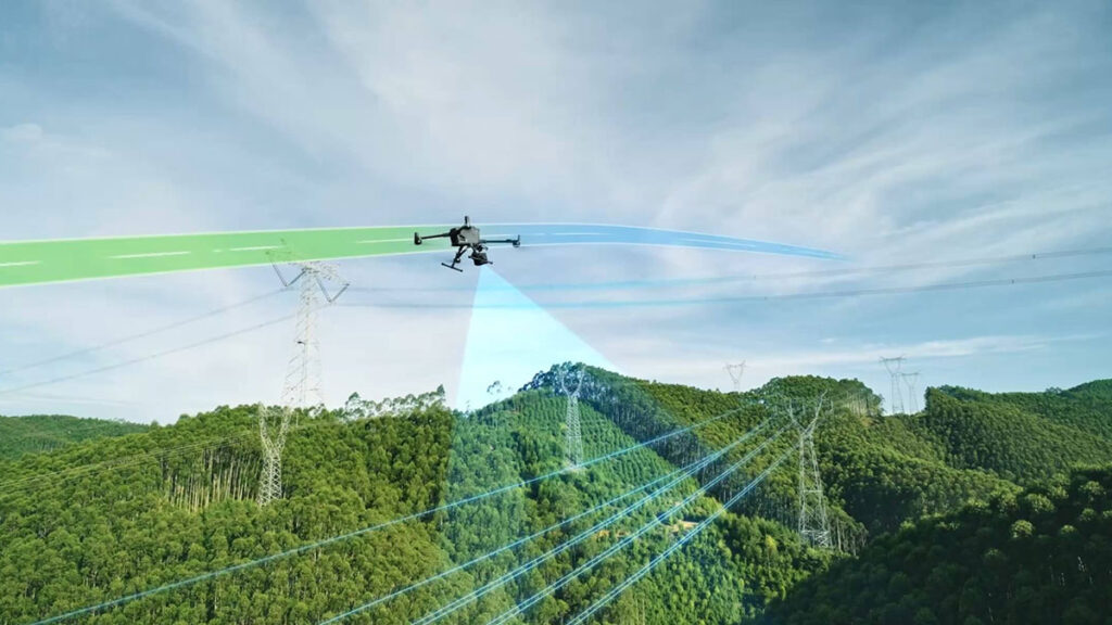
For good measure, DJI threw in dual 100-megapixel cameras with a 107° field of view, because why not let your mapping drone double as a photography major? Together, the system can cover up to 100 square kilometers per day, generating all the topographic, elevation, and orthophoto data you could ever dream of—probably faster than your office Wi-Fi can upload it.
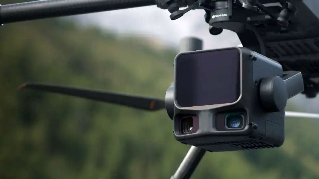
Mount it on a DJI Matrice 400, and you’ve got yourself a skyborne survey crew that doesn’t need sleep, lunch breaks, or hazard pay.
The DJI Zenmuse L3 is now available through DJI Enterprise dealers. As for the price, you’ll have to approach DJI Enterprise dealers to find out. In the meantime, you can learn more about this high-tech hardware HERE.
Images: DJI.